In today’s fast-paced world of infrastructure development, efficiency is no longer a luxury—it's a necessity. Whether it's a municipal roadway, a commercial development, or an industrial facility, successful projects rely on the seamless integration of multiple engineering disciplines. At the heart of many high-performance infrastructure projects lies the synergy between civil engineering and electrical engineering.
As a multidisciplinary consulting engineering firm, we’ve seen firsthand how the deliberate collaboration between these two disciplines leads to smarter, more sustainable, and cost-effective infrastructure solutions. This blog explores how combining civil and electrical engineering from the start can transform your next development into a benchmark of efficiency.
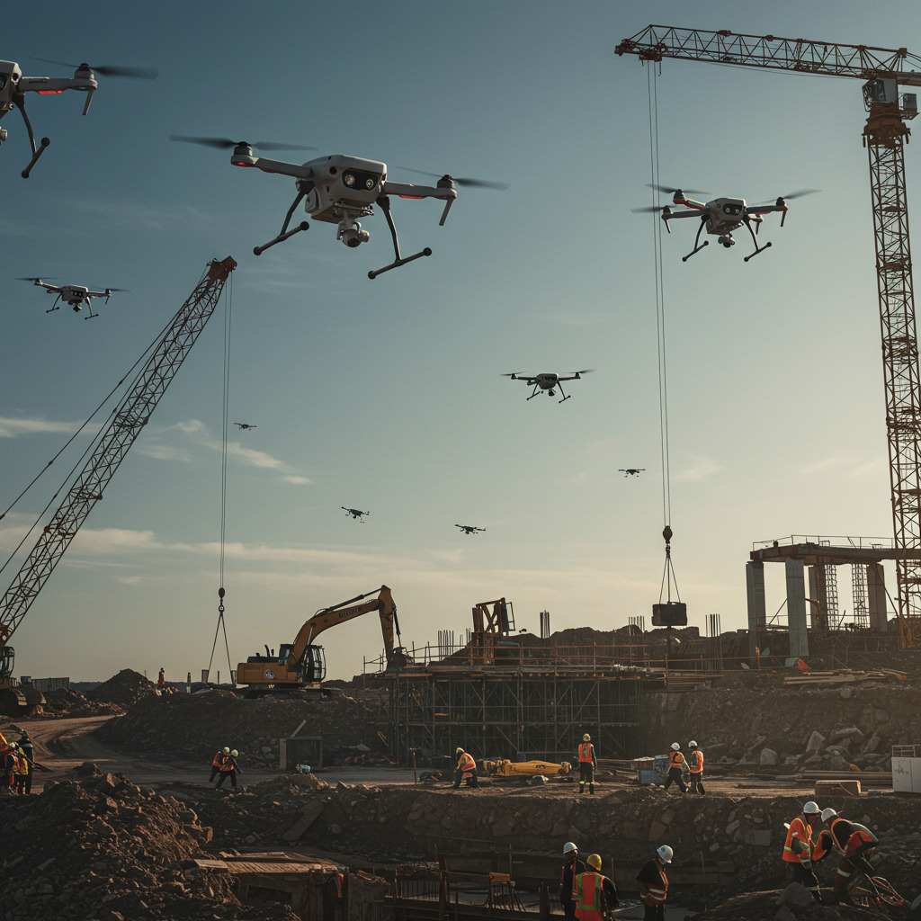
1. High-Resolution Project Mapping
Traditionally, land surveying and topographic mapping were time-consuming, labour-intensive, and costly. Drones equipped with high-definition cameras and LiDAR sensors can now perform aerial mapping in a fraction of the time—and with superior accuracy. These maps provide precise elevation models and surface data that can be easily integrated into BIM (Building Information Modeling) or GIS (Geographic Information Systems) platforms.
Benefits:
Rapid data collection over large areas
Accurate digital terrain models
Enhanced visualizations for clients and stakeholders
Seamless integration with multidisciplinary workflows
2. Real-Time Progress Monitoring
Project managers, engineers, and clients can now monitor construction progress without setting foot on-site. By scheduling drone flyovers, teams can produce time-lapse footage and real-time updates that aid in project management, quality assurance, and schedule compliance.
These insights not only improve internal communication but also serve as valuable social media assets that visually communicate milestones to clients and investors.
Benefits:
Enhanced collaboration between disciplines
Reduced need for physical site visits
Visual content for marketing and stakeholder reporting
3. Improved Safety and Risk Assessment
Inspecting infrastructure—such as bridges, towers, and slopes—used to place engineers in potentially hazardous conditions. Drones now make it possible to assess hard-to-reach or dangerous areas safely and remotely. Equipped with thermal imaging, infrared, or high-zoom lenses, they can detect structural issues or energy inefficiencies without endangering personnel.
Benefits:
Minimized on-site risk
Faster identification of maintenance needs
Data-driven maintenance strategies
4. Environmental Impact Studies and Monitoring
From floodplain mapping to erosion tracking and wetland analysis, drones are becoming vital tools in environmental engineering and impact assessments. Their ability to capture large-scale and time-sensitive data helps civil engineers make informed decisions that balance infrastructure needs with environmental preservation.
Benefits:
Real-time environmental monitoring
Detailed imagery for analysis and reporting
Better compliance with regulatory standards
5. Streamlined Workflow for Multidisciplinary Teams
One of the greatest advantages of drone technology is how well it supports multidisciplinary collaboration. Whether you're coordinating between civil, mechanical, and electrical engineering teams or engaging with architects, urban planners, and contractors, drone data enhances coordination and decision-making across disciplines.
Benefits:
Centralized data platforms
Reduced rework and miscommunication
More informed design decisions from the outset
6. Enhanced Community Engagement and Transparency
Drone footage offers a bird’s-eye view of how projects affect surrounding areas. This transparency helps build public trust and encourages stakeholder engagement. Developers and municipalities can use drone media to demonstrate how infrastructure projects will progress, minimizing opposition and aligning expectations.
The Social Media Advantage
Beyond technical applications, drone visuals offer a compelling marketing advantage. High-quality drone footage and time-lapse videos can be powerful tools on platforms like LinkedIn, Instagram, and YouTube, helping engineering firms stand out in a competitive market.
Social Media Tip:
Include short aerial clips of your latest projects in progress—this builds credibility, demonstrates innovation, and drives engagement from potential clients and collaborators.
Conclusion: The Future is Aerial
Drones are more than a passing trend—they are changing the landscape of civil engineering by enhancing precision, safety, and efficiency. As a consulting engineering firm, integrating drone technology into your workflow not only future-proofs your operations but positions you as a leader in delivering smart, data-driven infrastructure solutions.
In an era where multidisciplinary coordination, cost-efficiency, and real-time data are paramount, drones offer the edge you need to innovate and excel.


